How satellite imagery and visual intelligence shape operational decisions in high-risk environments
In an era marked by geopolitical uncertainty, shifting alliances, and regional instability, organizations must adapt their security strategies to encompass not only cyber threats but also the physical and political contexts in which they operate. Security Operations Centers (SOCs), traditionally focused on digital risk, are increasingly being called upon to interpret and respond to complex, multidimensional crises. IMINT, combined with real-time geopolitical analysis, enables SOCs to contextualize threats spatially and temporally, offering a strategic advantage in high-volatility regions. This integration supports faster, more informed decisions in crisis response, supply chain resilience, and protection of personnel and assets.
What is IMINT?
IMINT is defined as the intelligence discipline that involves the collection, analysis, and interpretation of aerial or satellite imagery for strategic and tactical evaluation. Historically used in military contexts, its application has expanded to the private sector, where it is leveraged to monitor assets, logistics routes, geopolitical conditions, and environmental risks.
Key IMINT sources include:
- Public earth observation satellites: Sentinel-2, Landsat, MODIS.
- Commercial providers: Maxar, Planet, Airbus, BlackSky.
- Privately operated drones or scheduled aerial surveys.
Advances in spatial resolution, daily revisit frequency, and cloud-based processing have significantly reduced access latency and enhanced operational exploitation.
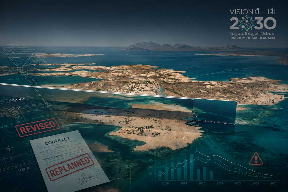
Strategic value of IMINT in conflict-prone or politically sensitive regions
IMINT allows analysts to identify infrastructure damage, troop movements, terrain changes, or illicit activities with a high degree of precision. For the corporate SOC, the combination of satellite imagery and IMINT means:
- Verifying emerging threats such as protests, border closures, military buildups, or infrastructure disruptions.
- Assessing exposure of facilities, logistics corridors, and employees in high-risk regions.
- Supporting continuity planning with visual intelligence on infrastructure damage, blocked routes, or population displacement.
“In areas where journalists and inspectors can’t go, satellite imagery becomes the most reliable source of truth.” – Stephen Wood, Senior Director, Maxar Technologies
Real-world example of IMINT application
One of the most illustrative examples of imagery intelligence (IMINT) in complex operational environments is the ongoing monitoring of artificial island development in the South China Sea. Through systematic satellite imagery analysis it has been possible to track construction activities in remote maritime areas without requiring physical access on the ground. These visuals have revealed real-time developments such as dredging, runway construction, and the installation of logistical and defense infrastructure. For Security Operations Centers (SOCs), this type of remote visualization offers a critical tactical advantage in regions where access is limited, terrain is disputed, or local information is unreliable. Without entering political assessments, this case illustrates the strategic value of IMINT for contextualizing operational scenarios, anticipating risk, and supporting evidence-based decision-making in high-risk zones.

Applying satellite intelligence and IMINT to Global Security Operations
In volatile geopolitical contexts, the ability to see and interpret developments in near real time is critical. IMINT empowers SOCs to go beyond reactive reporting by enabling preemptive action, situational validation, and context-rich decision-making. The following are key applications of satellite intelligence and IMINT in operational security environments:
- Monitoring armed conflicts and troop movements: High-resolution IMINT can detect patterns such as deployment of military equipment, refugee flows, or buildup at strategic chokepoints—valuable for businesses with assets near potential flashpoints (e.g., ports, pipelines, factories).
- Visual confirmation of political unrest: During civil unrest or political transitions, satellite imagery paired with IMINT confirms roadblocks, burned infrastructure, or mass gatherings, enabling SOCs to issue accurate travel advisories or activate regional response teams.
- Evaluating sanctions risk and supply chain exposure: IMINT supports monitoring of compliance with international sanctions or detecting activity around restricted zones and entities—particularly relevant in sectors like energy, maritime shipping, and dual-use goods.
Integrating geopolitical risk intelligence into SOC workflows
To operationalize satellite-derived geopolitical intelligence and IMINT, SOCs should:
- Integrate satellite data feeds (e.g., Maxar, Planet, Sentinel) into threat monitoring platforms.
- Overlay imagery with geopolitical intelligence from sources such as Stratfor, Janes, or IHS Markit.
- Correlate IMINT indicators with cyber threat intelligence, physical security incidents, and open-source reporting.
- Develop escalation protocols when IMINT validates or contradicts other intelligence inputs.
This approach transforms the SOC from a reactive incident handler to a forward-looking risk integrator.
Challenges: interpretation, latency, and legal sensitivities
- Analytical expertise: High-value satellite imagery and IMINT require interpretation by trained analysts or AI-driven analytics pipelines. Misinterpretation can lead to either false reassurance or overreaction.
- Temporal resolution: While many satellites offer daily revisits, some critical windows may be missed, especially in fast-evolving situations like coups or rapid mobilizations.
- Regulatory and ethical constraints: Imagery must be handled in compliance with national laws on surveillance, dual-use technology, and responsible sourcing, especially in conflict zones.
Elevating the SOC with strategic geospatial foresight
The SOC’s mandate is expanding to meet a risk landscape shaped as much by geopolitics as by malware. Satellite imagery and IMINT offer vital, objective sources of insight in regions where misinformation, media blackout, or operational opacity prevail.
Incorporating IMINT and satellite-based geopolitical intelligence enables SOCs to:
- Detect early warning signals.
- Ground security decisions in visual evidence.
- Collaborate more effectively with crisis response, legal, and executive leadership.
As strategic volatility becomes the norm, the SOC that can see from above gains more than perspective—it gains an edge.
Do you need to integrate IMINT into your SOC workflows?
At ACK3, we provide end-to-end visual intelligence solutions tailored to your operational and geopolitical context. Let’s talk.